On a Friday in mid-March 2026, the Lakewood Village Board of Trustees held a special meeting to settle something that had been tabled from its regular session the week before. The Chautauqua Lake Partnership needed the village's sign-off to move forward with a herbicide permit application covering the water off Lakewood's own shoreline. Trustees Ellen Barnes, Ben Troche, and Scott Cooper voted yes. Trustee John Shedd voted no, laying out a concern that had little to do with whether the lake looked clear that week and everything to do with what happens after the weeds die.
"I am concerned about how long we've been doing this with herbicides," Shedd said, adding that killing off plant growth exposes the lake bottom and can feed the algae that keeps showing up anyway.
That vote passed 3 to 1. It is easy to skip past as routine municipal business. It is not. It is one small piece of a much larger, unevenly applied system that decides, block by block and season by season, what the word waterfront actually delivers on Chautauqua Lake.
Two Organizations, Two Different Jobs
Nobody manages this lake as a single body of water with a single plan. Two organizations split the work, and they use different tools.
The Chautauqua Lake Partnership runs the chemical side. Working with a contractor called Ready Scout, the CLP applies for Article 15 wetlands permits from the state Department of Environmental Conservation, and this year those applications covered the towns of Ellery, Bemus Point, Ellicott, Celoron, Lakewood, Busti, and North Harmony separately. Each municipality has to weigh in on the permit that applies to its own shoreline, which is exactly what put Lakewood's trustees in a room in March.
The Chautauqua Lake Association runs the mechanical side: cutting and hauling plant material, cleaning up shoreline debris, stationing boat stewards at public launches. The two groups coordinate through an umbrella body called the Chautauqua Lake and Watershed Management Alliance, with GEI Consultants serving as the Alliance's independent lake management advisor. None of this is invisible bureaucracy. It shows up in whether a dock has clear water in front of it in late June or a mat of curly-leaf pondweed.
What Actually Went Into The Water This Year
The 2026 season followed a specific sequence, not a single lakewide sweep.
- May 5: Clearcast herbicide applied to roughly 80 acres to target invasive curly-leaf pondweed.
- June 17: ProcellaCOR applied across 205.5 acres to control Eurasian watermilfoil, the same day a separate application of Komeen covered about 10 acres around the Celoron marinas for algae and nuisance plant growth.
- June 29: a second ProcellaCOR round covered another 234.5 acres of watermilfoil.
Add up the two ProcellaCOR rounds and you get 440 acres. The DEC permit had authorized treatment of up to 944 acres of milfoil, capped at 600 actually treated. That means under half of the acreage the state had cleared for chemical treatment this year actually received it. The CLP has described this as an adaptive approach, deciding where and when to treat based on field conditions rather than a plan fixed months in advance. For a buyer, the practical translation is that the treatment map for any given summer is not settled until the season is already underway, and a parcel's history one year does not guarantee the same result the next.
Meanwhile the mechanical crews kept working in parallel. By the third week of August, the Chautauqua Lake Association reported having hauled out 246 truckloads of plant material, close to five million pounds for the season.
Not Every Cove Gets Harvested The Same Way
A newer invasive species, starry stonewort, has shown up at specific points on the lake, including Prendergast Point and Ashville Bay. Because it does not respond well to the standard herbicides, crews from Integrated Lakes Management of Illinois have been performing diver-assisted suction harvesting there, essentially removing it plant by plant underwater, with the work monitored by Everwild Land Trust. That is a slower, more localized method than spraying or cutting, and it is only happening in the specific coves where the species has taken hold.
At the same time, researchers from North Carolina State University set up ten test plots around the lake this year, funded by a $42,813 grant from the DEC: three harvest-only zones, three zones with no management at all, and four herbicide-only zones, chosen based on where curly-leaf pondweed has historically been present. The Chautauqua Lake Association has said directly that it is trying to keep servicing the dock owners who count on regular harvesting while steering clear of the no-harvest research zones. That means a dock sitting inside or beside one of those ten study boundaries can get a different summer than a dock two hundred yards away, for reasons that have nothing to do with the shoreline itself and everything to do with where a university research plot happened to land.
Where The Pressure Actually Shows Up
Lakewide, 2026 is being described as an improvement over 2025. The elodea bloom that choked parts of the lake last year did not return at the same scale. But improvement lakewide does not mean uniform. The south basin saw earlier algae blooms this season even as overall conditions looked better than the year before.
Beach status told a similarly split story through the summer. The county health department listed College/Pier Beach as unsatisfactory, while Long Point State Park's beach, after a temporary closure, reopened by mid-August. Two public swimming spots on the same lake, in the same summer, landed in different columns.
What This Means If You're Comparing Docks
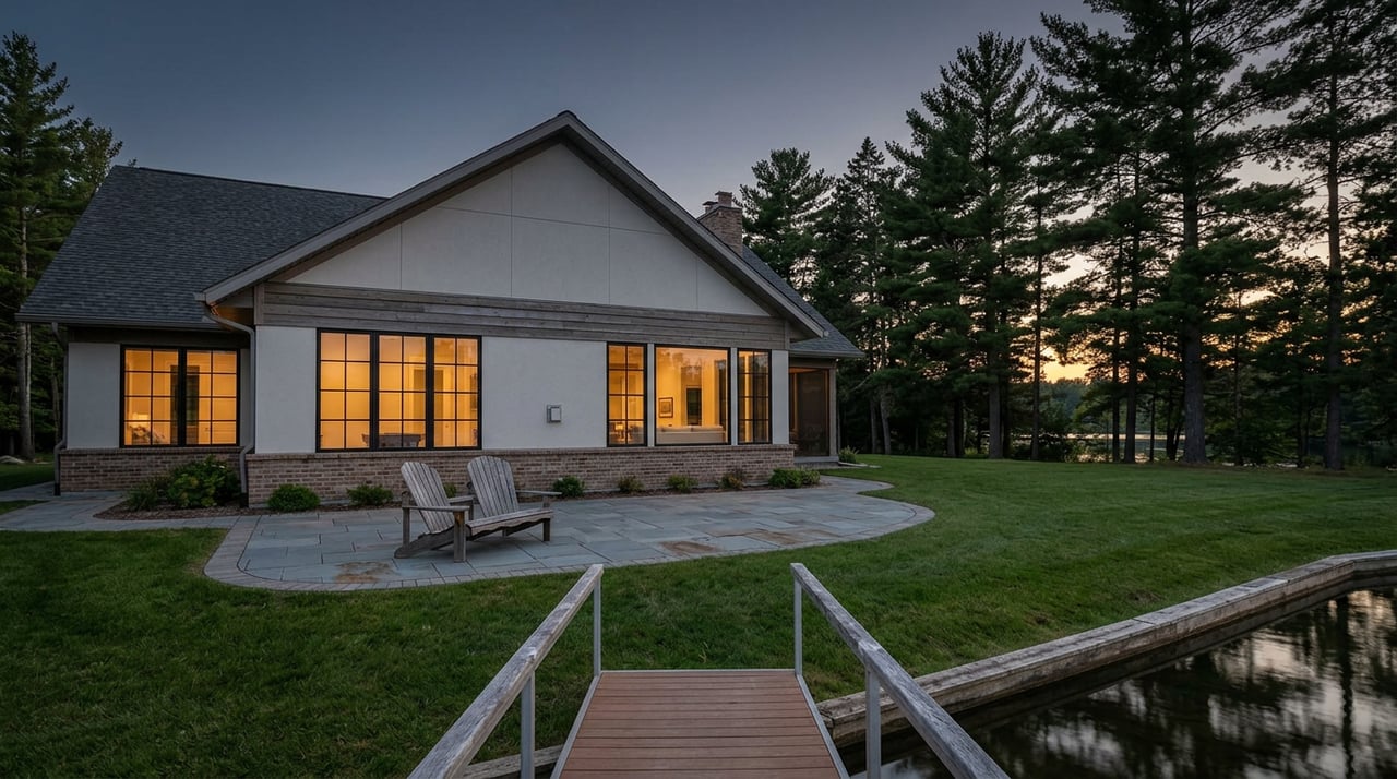
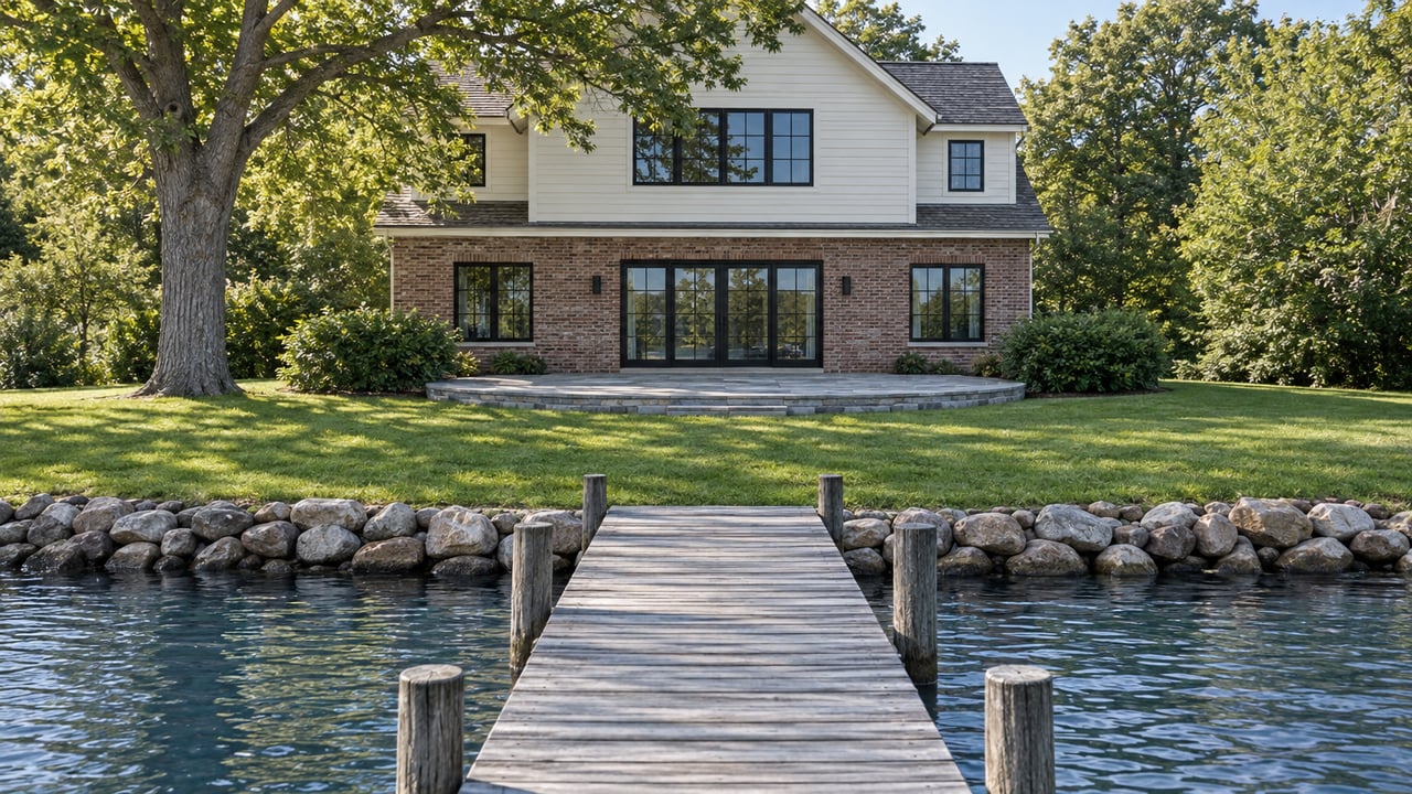
Frontage itself varies just as much as the management does. Current listings around the lake this year have ranged from parcels with only a few feet of deeded lake access up to shoreline spanning well over a hundred feet across multiple parcels. The word waterfront covers all of it, and by itself it tells a buyer very little about the two things that actually determine how a property gets used: what legal access the deed actually grants, and what condition the water in front of it has been in during the season a buyer is looking.
That second part is decided by the pieces above. A parcel's treatment history depends on which town's board approved which permit, whether the shoreline sits near a marina getting Komeen for algae and nuisance growth, whether it falls inside one of the ten research plots, and whether the nearest cove has a starry stonewort problem requiring the slower DASH method rather than a spray application. A property in the Village of Lakewood answers to a different board vote than one just across the line in the Town of Busti or Ellicott, even though both touch the same water.
Before making an offer on a specific piece of shoreline, it is reasonable to ask which treatment zone that parcel falls into, whether it sits near one of this year's research plots, and what the closest public beach's status has looked like over the season. None of that shows up in a listing photo.
A Few Direct Questions
Does a change in village or town board membership change how a shoreline gets managed? It can. The permit that covers a given stretch of shoreline is approved by that municipality's own board, as the March 2026 Lakewood vote showed, so a board's makeup and its comfort with herbicide use is part of what determines the summer ahead.
Is the lake's overall condition improving or getting worse? It depends on where you're standing. Lakewide, 2026 outperformed 2025, with the elodea bloom that choked areas last year failing to return. At the same time, the south basin saw earlier algae pressure this season and a new invasive, starry stonewort, has required its own separate harvesting method in specific coves. It is an evolving situation, not a solved one.
Where can I check the treatment history for a specific piece of shoreline? The DEC's environmental notice bulletin publishes the permit applications and treatment maps for the CLP's herbicide program, and the Chautauqua Lake Association posts its own work plans and reports covering mechanical harvesting. Checking both before writing an offer is a reasonable step for anyone weighing a specific dock.
If you are comparing waterfront listings on Chautauqua Lake this season, the permit filings, harvesting reports, and beach status updates are all public, but they live across three or four different organizations and none of them show up on a listing sheet. The Nielsen Wroda Team tracks this alongside the market itself, so before you write an offer on a specific stretch of shoreline, reach out and we'll walk the zone history, the board votes, and the season's beach reports with you.